
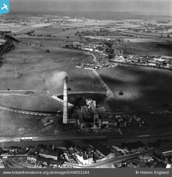
EAW021184 ENGLAND (1949). Castle Meads Power Station and environs, Gloucester, from the south, 1949. This image has been produced from a print.
© Copyright OpenStreetMap contributors and licensed by the OpenStreetMap Foundation. 2026. Cartography is licensed as CC BY-SA.
Nearby Images (18)
EAW021184

EAW021181

EAW021185

EAW018728

EAW012210

EAW021182

EAW021183

EAW021187

EPW037837

EPW024157

EAW021189

EAW012209

EPW037749

EAW012202

EAW012200

EPW037834

EPW037750

EAW012197

Details
| Title | [EAW021184] Castle Meads Power Station and environs, Gloucester, from the south, 1949. This image has been produced from a print. |
| Reference | EAW021184 |
| Date | 2-March-1949 |
| Link | |
| Place name | GLOUCESTER |
| Parish | |
| District | |
| Country | ENGLAND |
| Easting / Northing | 382437, 218319 |
| Longitude / Latitude | -2.2550772558731, 51.862735156095 |
| National Grid Reference | SO824183 |
Pins
Be the first to add a comment to this image!