
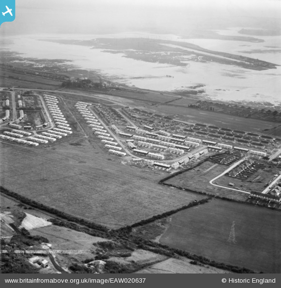
EAW020637 ENGLAND (1948). Paulsgrove Lake and housing surrounding Falmouth Road, Paulsgrove, 1948. This image was marked by Aerofilms Ltd for photo editing.
© Copyright OpenStreetMap contributors and licensed by the OpenStreetMap Foundation. 2026. Cartography is licensed as CC BY-SA.
Nearby Images (7)
EAW020637

EAW020640

EAW020639

EAW020630

EAW020635

EAW020627

EAW020626

Details
| Title | [EAW020637] Paulsgrove Lake and housing surrounding Falmouth Road, Paulsgrove, 1948. This image was marked by Aerofilms Ltd for photo editing. |
| Reference | EAW020637 |
| Date | 8-December-1948 |
| Link | |
| Place name | PAULSGROVE |
| Parish | |
| District | |
| Country | ENGLAND |
| Easting / Northing | 462910, 106199 |
| Longitude / Latitude | -1.1062179688825, 50.851324979238 |
| National Grid Reference | SU629062 |
Pins
Be the first to add a comment to this image!