
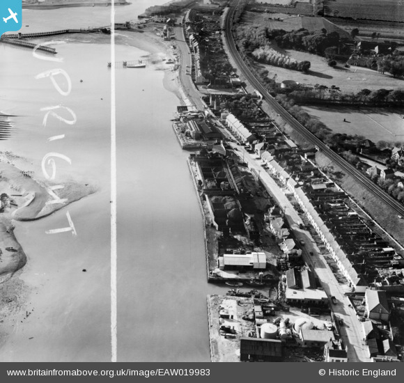
EAW019983 ENGLAND (1948). Turberville Wharf and Albion Street, Southwick, 1948. This image was marked by Aerofilms Ltd for photo editing.
© Copyright OpenStreetMap contributors and licensed by the OpenStreetMap Foundation. 2026. Cartography is licensed as CC BY-SA.
Nearby Images (8)
EAW019983

EAW019981

EAW019985

EAW019982

EAW019987

EAW019984

EAW019986

EPW054049

Details
| Title | [EAW019983] Turberville Wharf and Albion Street, Southwick, 1948. This image was marked by Aerofilms Ltd for photo editing. |
| Reference | EAW019983 |
| Date | 19-October-1948 |
| Link | |
| Place name | SOUTHWICK |
| Parish | |
| District | |
| Country | ENGLAND |
| Easting / Northing | 523888, 104950 |
| Longitude / Latitude | -0.24063589555132, 50.830250272619 |
| National Grid Reference | TQ239050 |
Pins

cptpies |
Friday 21st of December 2018 02:14:54 PM |