
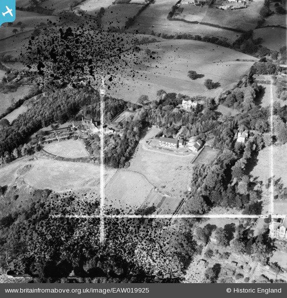
EAW019925 ENGLAND (1948). Spencer's Fallow on Chelford Road and environs, Prestbury, 1948. This image has been produced from a damaged negative.
© Copyright OpenStreetMap contributors and licensed by the OpenStreetMap Foundation. 2026. Cartography is licensed as CC BY-SA.
Nearby Images (8)
EAW019925

EAW019924

EAW019927

EAW019928

EAW016498

EAW019926

EAW016497

EAW016496

Details
| Title | [EAW019925] Spencer's Fallow on Chelford Road and environs, Prestbury, 1948. This image has been produced from a damaged negative. |
| Reference | EAW019925 |
| Date | 18-October-1948 |
| Link | |
| Place name | PRESTBURY |
| Parish | PRESTBURY |
| District | |
| Country | ENGLAND |
| Easting / Northing | 389064, 376266 |
| Longitude / Latitude | -2.1640457869501, 53.282979325983 |
| National Grid Reference | SJ891763 |
Pins
Be the first to add a comment to this image!