
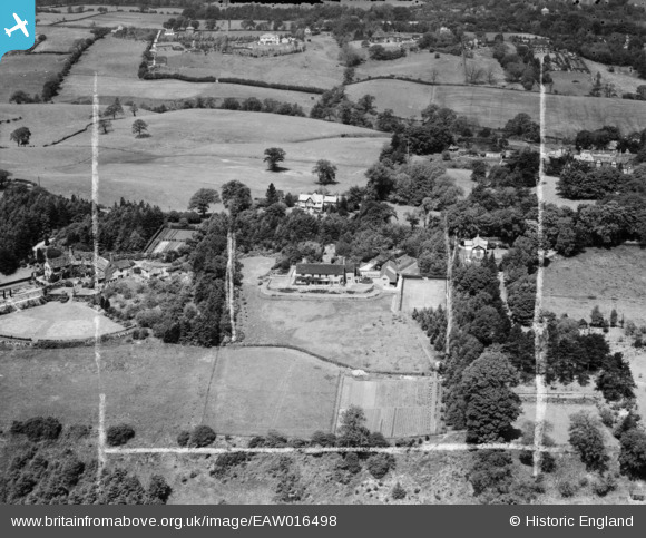
EAW016498 ENGLAND (1948). Spencer's Fallow and environs, Prestbury, 1948. This image was marked by Aerofilms Ltd for photo editing.
© Copyright OpenStreetMap contributors and licensed by the OpenStreetMap Foundation. 2026. Cartography is licensed as CC BY-SA.
Nearby Images (8)
EAW016498

EAW016497

EAW019928

EAW019924

EAW019927

EAW019925

EAW019926

EAW016496

Details
| Title | [EAW016498] Spencer's Fallow and environs, Prestbury, 1948. This image was marked by Aerofilms Ltd for photo editing. |
| Reference | EAW016498 |
| Date | 11-June-1948 |
| Link | |
| Place name | PRESTBURY |
| Parish | PRESTBURY |
| District | |
| Country | ENGLAND |
| Easting / Northing | 389070, 376310 |
| Longitude / Latitude | -2.1639572981738, 53.283374998835 |
| National Grid Reference | SJ891763 |
Pins
Be the first to add a comment to this image!