
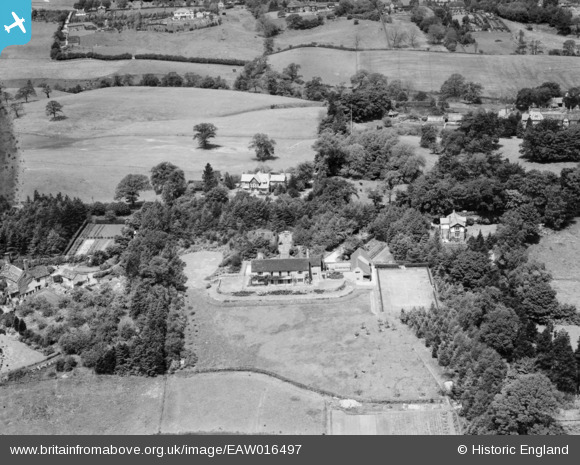
EAW016497 ENGLAND (1948). Spencer's Fallow and environs, Prestbury, 1948
© Copyright OpenStreetMap contributors and licensed by the OpenStreetMap Foundation. 2026. Cartography is licensed as CC BY-SA.
Nearby Images (8)
EAW016497

EAW016498

EAW019928

EAW019924

EAW019927

EAW019925

EAW019926

EAW016496

Details
| Title | [EAW016497] Spencer's Fallow and environs, Prestbury, 1948 |
| Reference | EAW016497 |
| Date | 11-June-1948 |
| Link | |
| Place name | PRESTBURY |
| Parish | PRESTBURY |
| District | |
| Country | ENGLAND |
| Easting / Northing | 389072, 376327 |
| Longitude / Latitude | -2.163927881828, 53.283527865852 |
| National Grid Reference | SJ891763 |
Pins
Be the first to add a comment to this image!