
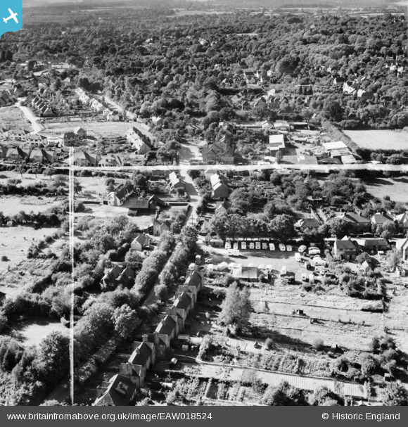
EAW018524 ENGLAND (1948). Plantation Road and environs, Amersham, 1948. This image was marked by Aerofilms Ltd for photo editing.
© Copyright OpenStreetMap contributors and licensed by the OpenStreetMap Foundation. 2026. Cartography is licensed as CC BY-SA.
Nearby Images (21)
EAW018524

EAW020299

EAW018522

EAW019445

EAW019448

EAW020300

EAW019447

EAW019446

EAW020302

EAW020305

EAW018523

EAW019449

EAW020303

EAW020297

EAW020301

EAW018520

EAW020298

EAW020304

EAW018521

EAW018525

EAW018526

Details
| Title | [EAW018524] Plantation Road and environs, Amersham, 1948. This image was marked by Aerofilms Ltd for photo editing. |
| Reference | EAW018524 |
| Date | 9-September-1948 |
| Link | |
| Place name | AMERSHAM |
| Parish | AMERSHAM |
| District | |
| Country | ENGLAND |
| Easting / Northing | 497251, 198645 |
| Longitude / Latitude | -0.59330235823652, 51.677678480805 |
| National Grid Reference | SU973986 |
Pins

DRS |
Tuesday 30th of June 2020 09:22:21 AM | |

Billy Turner |
Friday 28th of October 2016 04:18:41 PM |
