
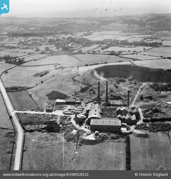
EAW018213 ENGLAND (1948). The Cumberworth Brick & Tile Co Ltd Works on Coal Pit Lane, Lower Cumberworth, 1948
© Copyright OpenStreetMap contributors and licensed by the OpenStreetMap Foundation. 2026. Cartography is licensed as CC BY-SA.
Nearby Images (8)
EAW018213

EAW018211

EAW018218

EAW018216

EAW018212

EAW018215

EAW018214

EAW018217

Details
| Title | [EAW018213] The Cumberworth Brick & Tile Co Ltd Works on Coal Pit Lane, Lower Cumberworth, 1948 |
| Reference | EAW018213 |
| Date | 18-August-1948 |
| Link | |
| Place name | LOWER CUMBERWORTH |
| Parish | DENBY DALE |
| District | |
| Country | ENGLAND |
| Easting / Northing | 421914, 409703 |
| Longitude / Latitude | -1.6689530938318, 53.583218168096 |
| National Grid Reference | SE219097 |
Pins
Be the first to add a comment to this image!