
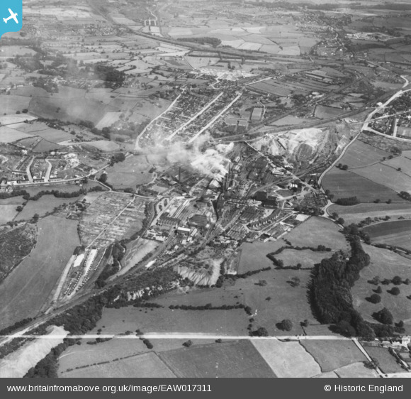
EAW017311 ENGLAND (1948). The Sheepbridge Iron Works and environs, Sheepbridge, 1948. This image has been produced from a print marked by Aerofilms Ltd for photo editing.
© Copyright OpenStreetMap contributors and licensed by the OpenStreetMap Foundation. 2026. Cartography is licensed as CC BY-SA.
Nearby Images (35)
EAW017311

EAW034554

EAW034552

EAW017308

EAW034560

EAW017312

EAW034567

EPW048954

EPW048955

EPW048958

EAW034563

EPW048951

EPW048957

EPW048953

EPW048956

EPW048961

EAW034562

EPW048952

EAW034551

EPW048960

EAW034566

EPW048959

EAW034553

EAW034558

EAW034564

EAW017310

EAW034557

EAW017309

EAW034559

EAW034561

EAW034565

EAW017313

EAW034555

EAW017307

EAW034556

Details
| Title | [EAW017311] The Sheepbridge Iron Works and environs, Sheepbridge, 1948. This image has been produced from a print marked by Aerofilms Ltd for photo editing. |
| Reference | EAW017311 |
| Date | 19-July-1948 |
| Link | |
| Place name | SHEEPBRIDGE |
| Parish | |
| District | |
| Country | ENGLAND |
| Easting / Northing | 437298, 374779 |
| Longitude / Latitude | -1.4406981344792, 53.268412686679 |
| National Grid Reference | SK373748 |
Pins
Be the first to add a comment to this image!