
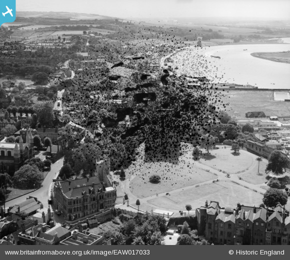
EAW017033 ENGLAND (1948). The castle gardens, town and the River Medway, Rochester, from the north-east, 1948. This image has been produced from a damaged negative.
© Copyright OpenStreetMap contributors and licensed by the OpenStreetMap Foundation. 2026. Cartography is licensed as CC BY-SA.
Nearby Images (25)
EAW017033

EAW004791

EAW004792

EAW004794

EAW017034

EAW004845

EAW017032
, town and the River Medway, Rochester, 1948. This image has been produced from a damaged negative.")
EAW017035

EAW003543

EAW003540

EAW004795

EAW017036

EAW004796

EAW003539

EAW004793

EAW003541

EAW018579

EAW017031

EAW003542

EAW018573

EAW018575

EAW018572

EAW018577

EAW018578

EPW001443

Details
| Title | [EAW017033] The castle gardens, town and the River Medway, Rochester, from the north-east, 1948. This image has been produced from a damaged negative. |
| Reference | EAW017033 |
| Date | 6-July-1948 |
| Link | |
| Place name | ROCHESTER |
| Parish | |
| District | |
| Country | ENGLAND |
| Easting / Northing | 574176, 168602 |
| Longitude / Latitude | 0.50363043415421, 51.389193760646 |
| National Grid Reference | TQ742686 |
Pins

Switches |
Sunday 22nd of December 2013 03:07:35 PM | |
|
Switches |
Sunday 22nd of December 2013 03:06:40 PM | |
Short S.26 'G-Class' registered G-AFCI, named 'Golden Hind' |
Kentishman |
Saturday 14th of March 2015 09:44:27 AM |
|
Switches |
Sunday 22nd of December 2013 03:05:42 PM |