
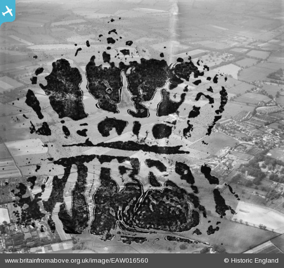
EAW016560 ENGLAND (1948). The village, Blofield, 1948. This image has been produced from a damaged negative.
© Copyright OpenStreetMap contributors and licensed by the OpenStreetMap Foundation. 2026. Cartography is licensed as CC BY-SA.
Nearby Images (14)
EAW016560

EAW016563

EAW016559

EAW016565

EAW016562

EAW016566

EAW016561

EAW016558

EAW016567

EAW016557

EAW016555

EAW016568

EAW016564

EAW016556

Details
| Title | [EAW016560] The village, Blofield, 1948. This image has been produced from a damaged negative. |
| Reference | EAW016560 |
| Date | 14-June-1948 |
| Link | |
| Place name | BLOFIELD |
| Parish | BLOFIELD |
| District | |
| Country | ENGLAND |
| Easting / Northing | 632839, 309288 |
| Longitude / Latitude | 1.4411068983861, 52.630957233935 |
| National Grid Reference | TG328093 |
Pins

East Anglian |
Tuesday 9th of February 2021 04:13:20 PM | |
|
East Anglian |
Tuesday 9th of February 2021 04:12:08 PM | |
|
East Anglian |
Tuesday 9th of February 2021 04:10:44 PM |