
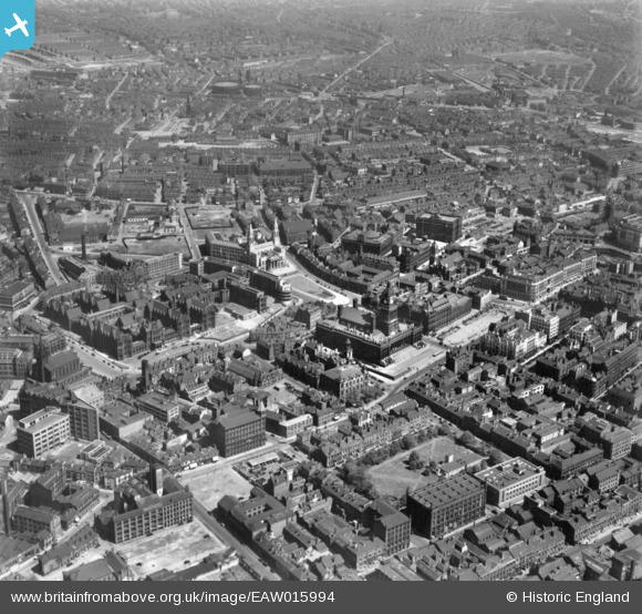
EAW015994 ENGLAND (1948). The Town Hall and surrounding city centre, Leeds, 1948. This image has been produced from a print.
© Copyright OpenStreetMap contributors and licensed by the OpenStreetMap Foundation. 2026. Cartography is licensed as CC BY-SA.
Nearby Images (17)
EAW015994

EPW043168

EPW052168

EAW014660

EAW014661

EAW014658

EPW043169

EAW015993

EAW014659

EPW015898

EPW057199

EAW013812

EPW057200

EAW015998

EPW057196

EAW015738

EAW013810

Details
| Title | [EAW015994] The Town Hall and surrounding city centre, Leeds, 1948. This image has been produced from a print. |
| Reference | EAW015994 |
| Date | 19-May-1948 |
| Link | |
| Place name | LEEDS |
| Parish | |
| District | |
| Country | ENGLAND |
| Easting / Northing | 429823, 434008 |
| Longitude / Latitude | -1.54713964316, 53.801302992495 |
| National Grid Reference | SE298340 |
Pins

spugs |
Tuesday 26th of August 2014 09:33:14 PM |