
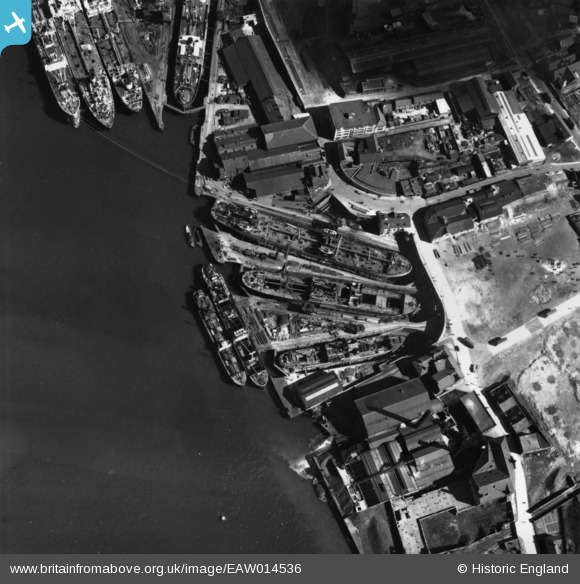
EAW014536 ENGLAND (1948). Graving Docks next to South Shields Power Station, South Shields, 1948. This image has been produced from a print.
© Copyright OpenStreetMap contributors and licensed by the OpenStreetMap Foundation. 2026. Cartography is licensed as CC BY-SA.
Nearby Images (18)
EAW014536

EAW014531
, South Shields, 1948. This image has been produced from a print.")
EAW014532
, South Shields, 1948. This image has been produced from a print.")
EAW008940

EAW008941

EAW008937

EAW014534
, South Shields, 1948. This image has been produced from a print.")
EAW008938

EAW008944

EAW008942

EAW008935

EAW008934

EAW008936

EPW025061

EAW008939

EAW008943

EAW014530
, South Shields, 1948. This image has been produced from a damaged negative.")
EAW014533
, South Shields, 1948. This image has been produced from a print.")
Details
| Title | [EAW014536] Graving Docks next to South Shields Power Station, South Shields, 1948. This image has been produced from a print. |
| Reference | EAW014536 |
| Date | 15-April-1948 |
| Link | |
| Place name | SOUTH SHIELDS |
| Parish | |
| District | |
| Country | ENGLAND |
| Easting / Northing | 435660, 566531 |
| Longitude / Latitude | -1.4425922108015, 54.992013115193 |
| National Grid Reference | NZ357665 |
Pins
Be the first to add a comment to this image!