
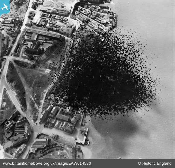
EAW014530 ENGLAND (1948). Middle Docks (Engineering and Ship Repairing), South Shields, 1948. This image has been produced from a damaged negative.
© Copyright OpenStreetMap contributors and licensed by the OpenStreetMap Foundation. 2026. Cartography is licensed as CC BY-SA.
Nearby Images (18)
EAW014530
, South Shields, 1948. This image has been produced from a damaged negative.")
EAW008936

EAW008934

EAW008943

EAW008935

EAW008942

EAW008939

EAW008938

EAW008937

EAW014533
, South Shields, 1948. This image has been produced from a print.")
EAW008941

EAW008944

EAW014534
, South Shields, 1948. This image has been produced from a print.")
EAW014537
, South Shields, 1948. This image has been produced from a damaged negative.")
EAW008940

EAW014532
, South Shields, 1948. This image has been produced from a print.")
EAW014536

EAW014535

Details
| Title | [EAW014530] Middle Docks (Engineering and Ship Repairing), South Shields, 1948. This image has been produced from a damaged negative. |
| Reference | EAW014530 |
| Date | 15-April-1948 |
| Link | |
| Place name | SOUTH SHIELDS |
| Parish | |
| District | |
| Country | ENGLAND |
| Easting / Northing | 435771, 566760 |
| Longitude / Latitude | -1.4408286287442, 54.994063131266 |
| National Grid Reference | NZ358668 |
Pins

redmist |
Wednesday 28th of September 2022 04:15:11 PM |