
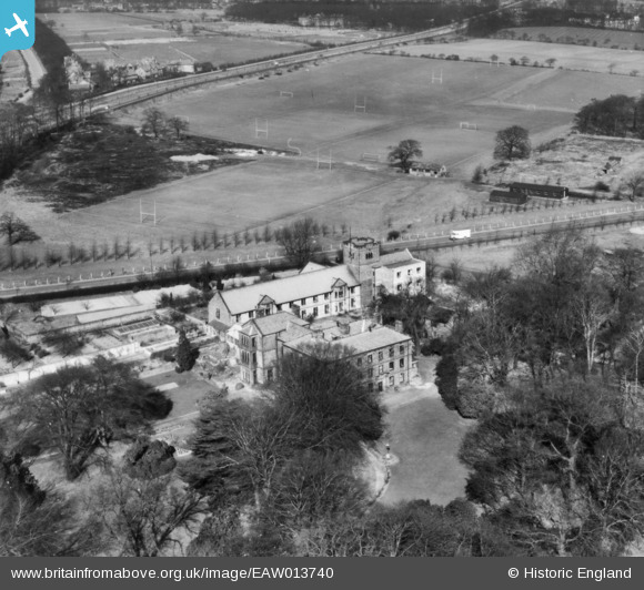
EAW013740 ENGLAND (1948). Weetwood Hall, Weetwood, 1948. This image has been produced from a print.
© Copyright OpenStreetMap contributors and licensed by the OpenStreetMap Foundation. 2025. Cartography is licensed as CC BY-SA.
Nearby Images (6)
EAW013740

EAW013739

EAW013733

EAW013734

EAW013731

EAW013723

Details
| Title | [EAW013740] Weetwood Hall, Weetwood, 1948. This image has been produced from a print. |
| Reference | EAW013740 |
| Date | 11-March-1948 |
| Link | |
| Place name | WEETWOOD |
| Parish | |
| District | |
| Country | ENGLAND |
| Easting / Northing | 426974, 438069 |
| Longitude / Latitude | -1.5900441068809, 53.837961849127 |
| National Grid Reference | SE270381 |
Pins
Be the first to add a comment to this image!