
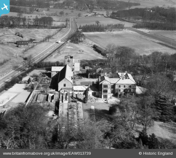
EAW013739 ENGLAND (1948). Weetwood Hall, Weetwood, 1948
© Copyright OpenStreetMap contributors and licensed by the OpenStreetMap Foundation. 2025. Cartography is licensed as CC BY-SA.
Nearby Images (7)
EAW013739

EAW013740

EAW013733

EAW013734

EAW013731

EAW013723

EAW013741

Details
| Title | [EAW013739] Weetwood Hall, Weetwood, 1948 |
| Reference | EAW013739 |
| Date | 11-March-1948 |
| Link | |
| Place name | WEETWOOD |
| Parish | |
| District | |
| Country | ENGLAND |
| Easting / Northing | 426990, 438063 |
| Longitude / Latitude | -1.5898014698294, 53.837907085735 |
| National Grid Reference | SE270381 |
Pins
Be the first to add a comment to this image!