
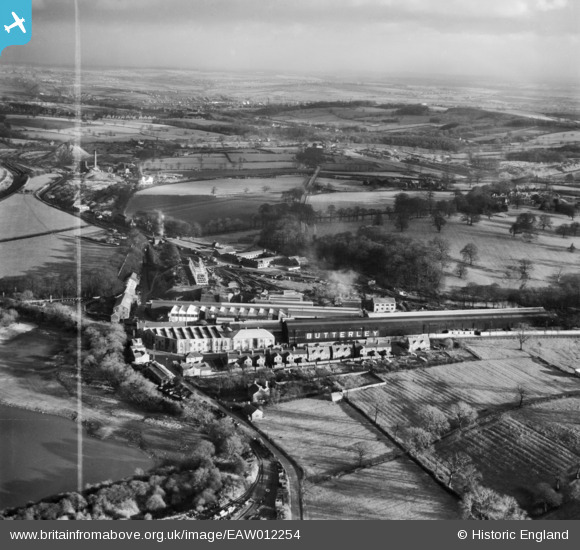
EAW012254 ENGLAND (1947). The Butterley Iron Works and environs, Butterley, from the north-west, 1947. This image was marked by Aerofilms Ltd for photo editing.
© Copyright OpenStreetMap contributors and licensed by the OpenStreetMap Foundation. 2026. Cartography is licensed as CC BY-SA.
Nearby Images (20)
EAW012254

EAW012250

EAW012249

EAW012255

EAW012253

EAW012262

EAW012256

EAW012252

EAW012261

EPW050254

EAW012248

EPW050253

EPW050251

EAW012251

EAW012257

EAW012242

EAW012243

EPW050252

EAW012259

EPW050255

Details
| Title | [EAW012254] The Butterley Iron Works and environs, Butterley, from the north-west, 1947. This image was marked by Aerofilms Ltd for photo editing. |
| Reference | EAW012254 |
| Date | 24-November-1947 |
| Link | |
| Place name | BUTTERLEY |
| Parish | RIPLEY |
| District | |
| Country | ENGLAND |
| Easting / Northing | 439967, 351588 |
| Longitude / Latitude | -1.4035747218451, 53.059743244805 |
| National Grid Reference | SK400516 |
Pins
Be the first to add a comment to this image!