
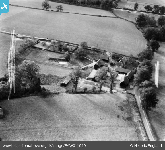
EAW011949 ENGLAND (1947). Swangles Farm, Cold Christmas, 1947. This image was marked by Aerofilms Ltd for photo editing.
© Copyright OpenStreetMap contributors and licensed by the OpenStreetMap Foundation. 2026. Cartography is licensed as CC BY-SA.
Nearby Images (15)
EAW011949

EAW011944

EAW011356

EAW011354

EAW011946

EAW011947

EAW011353

EAW011943

EAW011352

EAW011948

EAW011945

EAW011355

EAW011349

EAW011350

EAW011351

Details
| Title | [EAW011949] Swangles Farm, Cold Christmas, 1947. This image was marked by Aerofilms Ltd for photo editing. |
| Reference | EAW011949 |
| Date | 17-October-1947 |
| Link | |
| Place name | COLD CHRISTMAS |
| Parish | THUNDRIDGE |
| District | |
| Country | ENGLAND |
| Easting / Northing | 537704, 216946 |
| Longitude / Latitude | -0.0012412441383705, 51.83368200539 |
| National Grid Reference | TL377169 |
Pins
Be the first to add a comment to this image!