
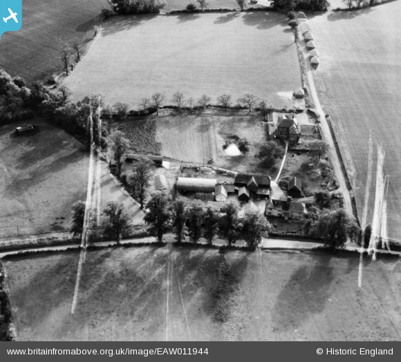
EAW011944 ENGLAND (1947). Swangles Farm, Cold Christmas, 1947. This image was marked by Aerofilms Ltd for photo editing.
© Copyright OpenStreetMap contributors and licensed by the OpenStreetMap Foundation. 2026. Cartography is licensed as CC BY-SA.
Nearby Images (15)
EAW011944

EAW011949

EAW011356

EAW011947

EAW011352

EAW011353

EAW011354

EAW011943

EAW011946

EAW011948

EAW011945

EAW011355

EAW011349

EAW011350

EAW011351

Details
| Title | [EAW011944] Swangles Farm, Cold Christmas, 1947. This image was marked by Aerofilms Ltd for photo editing. |
| Reference | EAW011944 |
| Date | 17-October-1947 |
| Link | |
| Place name | COLD CHRISTMAS |
| Parish | THUNDRIDGE |
| District | |
| Country | ENGLAND |
| Easting / Northing | 537706, 216951 |
| Longitude / Latitude | -0.0012102433685283, 51.833726444829 |
| National Grid Reference | TL377170 |
Pins

totoro |
Monday 21st of July 2014 06:49:01 PM | |
|
totoro |
Monday 21st of July 2014 06:39:38 PM | |
|
totoro |
Monday 21st of July 2014 06:30:49 PM |