
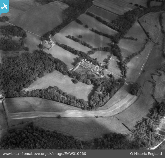
EAW010960 ENGLAND (1947). Trigon House and Farm, Trigon Hill, 1947
© Copyright OpenStreetMap contributors and licensed by the OpenStreetMap Foundation. 2026. Cartography is licensed as CC BY-SA.
Nearby Images (10)
EAW010960

EAW010959

EAW010957

EAW010956

EAW010953

EAW010951

EAW010950

EAW010954

EAW010952

EAW010955

Details
| Title | [EAW010960] Trigon House and Farm, Trigon Hill, 1947 |
| Reference | EAW010960 |
| Date | 24-September-1947 |
| Link | |
| Place name | TRIGON HILL |
| Parish | WAREHAM ST. MARTIN |
| District | |
| Country | ENGLAND |
| Easting / Northing | 388420, 88757 |
| Longitude / Latitude | -2.1639815575699, 50.697765298208 |
| National Grid Reference | SY884888 |
