
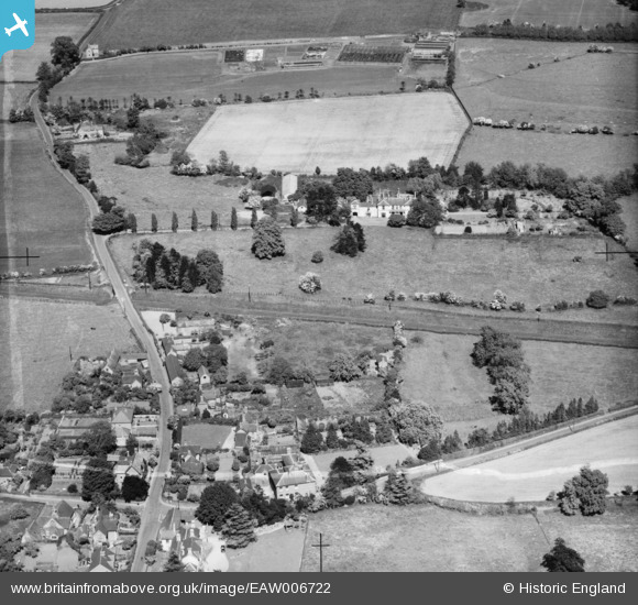
EAW006722 ENGLAND (1947). Shawbirch Road, Wellington Road and the Clock House, Admaston, 1947
© Copyright OpenStreetMap contributors and licensed by the OpenStreetMap Foundation. 2025. Cartography is licensed as CC BY-SA.
Nearby Images (6)
EAW006722

EAW006721

EAW006720

EAW006763

EAW006764

EAW006762

Details
| Title | [EAW006722] Shawbirch Road, Wellington Road and the Clock House, Admaston, 1947 |
| Reference | EAW006722 |
| Date | 28-May-1947 |
| Link | |
| Place name | ADMASTON |
| Parish | WROCKWARDINE |
| District | |
| Country | ENGLAND |
| Easting / Northing | 363603, 313052 |
| Longitude / Latitude | -2.5388403823395, 52.713560160217 |
| National Grid Reference | SJ636131 |
Pins
Be the first to add a comment to this image!