
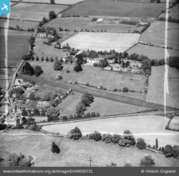
EAW006721 ENGLAND (1947). The Clock House, Admaston, 1947. This image was marked by Aerofilms Ltd for photo editing.
© Copyright OpenStreetMap contributors and licensed by the OpenStreetMap Foundation. 2025. Cartography is licensed as CC BY-SA.
Nearby Images (6)
EAW006721

EAW006720

EAW006722

EAW006763

EAW006764

EAW006762

Details
| Title | [EAW006721] The Clock House, Admaston, 1947. This image was marked by Aerofilms Ltd for photo editing. |
| Reference | EAW006721 |
| Date | 28-May-1947 |
| Link | |
| Place name | ADMASTON |
| Parish | WROCKWARDINE |
| District | |
| Country | ENGLAND |
| Easting / Northing | 363606, 313006 |
| Longitude / Latitude | -2.5387908758906, 52.713146810305 |
| National Grid Reference | SJ636130 |
Pins
Be the first to add a comment to this image!