
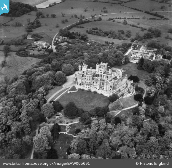
EAW005691 ENGLAND (1947). Belvoir Castle, Belvoir, 1947. This image has been produced from a print.
© Copyright OpenStreetMap contributors and licensed by the OpenStreetMap Foundation. 2026. Cartography is licensed as CC BY-SA.
Nearby Images (9)
EAW005691

EAW013406

EAW005692

EAW013408

EAW003571

EAW013407

EAW013409

EAW005693

EAW005695

Details
| Title | [EAW005691] Belvoir Castle, Belvoir, 1947. This image has been produced from a print. |
| Reference | EAW005691 |
| Date | 15-May-1947 |
| Link | |
| Place name | BELVOIR |
| Parish | BELVOIR |
| District | |
| Country | ENGLAND |
| Easting / Northing | 481973, 333706 |
| Longitude / Latitude | -0.78136814448074, 52.894223536041 |
| National Grid Reference | SK820337 |
Pins
 |

melgibbs |
Monday 16th of March 2015 10:37:18 AM |