
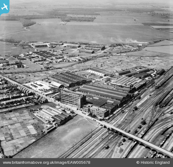
EAW005678 ENGLAND (1947). The Baker Perkins Ltd Westwood Engineering Works and RAF Peterborough, Peterborough, from the south-east, 1947
© Copyright OpenStreetMap contributors and licensed by the OpenStreetMap Foundation. 2026. Cartography is licensed as CC BY-SA.
Nearby Images (24)
EAW005678

EAW005680

EAW005681

EAW005679

EPW009766

EPW009769

EPW050280
 airfield, Peterborough, from the south-east, 1936")
EPW009770

EAW005677

EPW009765

EPW009767

EPW050275
 airfield, Peterborough, 1936")
EPW016324

EPW016323

EPW050277

EPW050278
 airfield, Peterborough, 1936")
EPW050274
 airfield, Peterborough, 1936")
EPW050281
 airfield, Peterborough, 1936")
EPW009768

EAW005684

EAW005685

EAW005686

EPW050279
 airfield, Peterborough, 1936")
EAW005683

Details
| Title | [EAW005678] The Baker Perkins Ltd Westwood Engineering Works and RAF Peterborough, Peterborough, from the south-east, 1947 |
| Reference | EAW005678 |
| Date | 15-May-1947 |
| Link | |
| Place name | PETERBOROUGH |
| Parish | |
| District | |
| Country | ENGLAND |
| Easting / Northing | 518188, 299795 |
| Longitude / Latitude | -0.25543258120741, 52.582743827933 |
| National Grid Reference | TL182998 |
Pins

Matt Aldred edob.mattaldred.com |
Sunday 13th of March 2022 12:07:57 PM | |

Sparky |
Thursday 5th of October 2017 04:50:32 PM | |
|
Sparky |
Tuesday 22nd of August 2017 09:00:52 AM | |
|
Sparky |
Tuesday 22nd of August 2017 08:59:40 AM | |

Grimsby Boy |
Monday 22nd of December 2014 11:10:02 PM |