
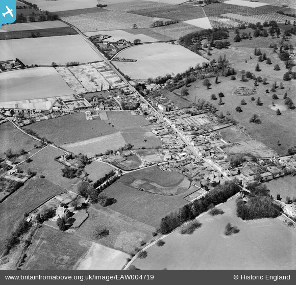
EAW004719 ENGLAND (1947). The village, Bridge, 1947
© Copyright OpenStreetMap contributors and licensed by the OpenStreetMap Foundation. 2026. Cartography is licensed as CC BY-SA.
Nearby Images (4)
EAW004719

EAW004720

EAW004721

EAW004722

Details
| Title | [EAW004719] The village, Bridge, 1947 |
| Reference | EAW004719 |
| Date | 26-April-1947 |
| Link | |
| Place name | BRIDGE |
| Parish | BRIDGE |
| District | |
| Country | ENGLAND |
| Easting / Northing | 618153, 154276 |
| Longitude / Latitude | 1.1260863167355, 51.245357452776 |
| National Grid Reference | TR182543 |
Pins
Be the first to add a comment to this image!