
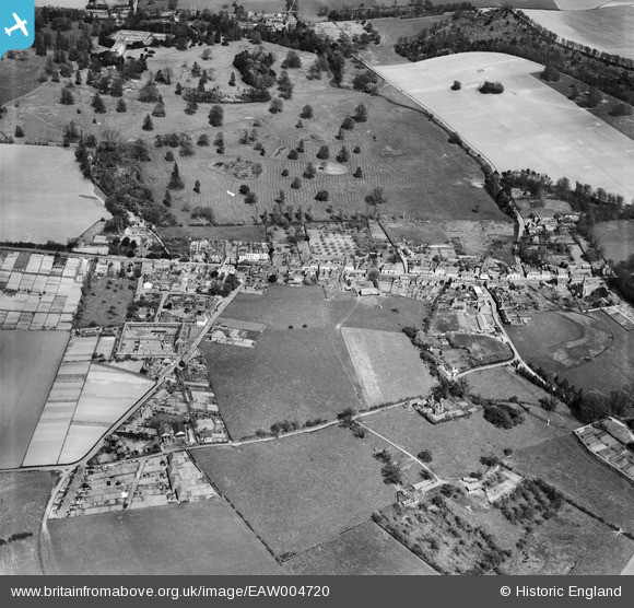
EAW004720 ENGLAND (1947). The village, Bridge, 1947
© Copyright OpenStreetMap contributors and licensed by the OpenStreetMap Foundation. 2026. Cartography is licensed as CC BY-SA.
Nearby Images (3)
EAW004720

EAW004719

EAW004721

Details
| Title | [EAW004720] The village, Bridge, 1947 |
| Reference | EAW004720 |
| Date | 26-April-1947 |
| Link | |
| Place name | BRIDGE |
| Parish | BRIDGE |
| District | |
| Country | ENGLAND |
| Easting / Northing | 618143, 154337 |
| Longitude / Latitude | 1.1259804161624, 51.245909026827 |
| National Grid Reference | TR181543 |
Pins

Steve F |
Thursday 16th of June 2016 11:02:04 AM |