
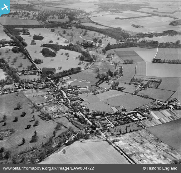
EAW004722 ENGLAND (1947). The village and Bourne Park, Bridge, 1947
© Copyright OpenStreetMap contributors and licensed by the OpenStreetMap Foundation. 2026. Cartography is licensed as CC BY-SA.
Nearby Images (3)
EAW004722

EAW004719

EAW004721

Details
| Title | [EAW004722] The village and Bourne Park, Bridge, 1947 |
| Reference | EAW004722 |
| Date | 26-April-1947 |
| Link | |
| Place name | BRIDGE |
| Parish | BRIDGE |
| District | |
| Country | ENGLAND |
| Easting / Northing | 618180, 154083 |
| Longitude / Latitude | 1.1263549922139, 51.243614082417 |
| National Grid Reference | TR182541 |
Pins

oldredeyeisback |
Monday 12th of January 2026 02:41:57 AM |