
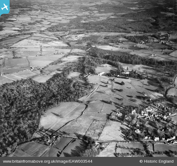
EAW003544 ENGLAND (1947). Fields between the village and Chase Wood, Frant, 1947
© Copyright OpenStreetMap contributors and licensed by the OpenStreetMap Foundation. 2026. Cartography is licensed as CC BY-SA.
Nearby Images (13)
EAW003544

EAW001464

EAW001472

EAW003547

EAW001471

EAW001473

EAW001465

EAW001470

EPW050335

EPW050341

EPW050333

EAW003545

EPW050332

Details
| Title | [EAW003544] Fields between the village and Chase Wood, Frant, 1947 |
| Reference | EAW003544 |
| Date | 16-January-1947 |
| Link | |
| Place name | FRANT |
| Parish | FRANT |
| District | |
| Country | ENGLAND |
| Easting / Northing | 559456, 136190 |
| Longitude / Latitude | 0.27779252500217, 51.102275913724 |
| National Grid Reference | TQ595362 |
Pins
Be the first to add a comment to this image!