
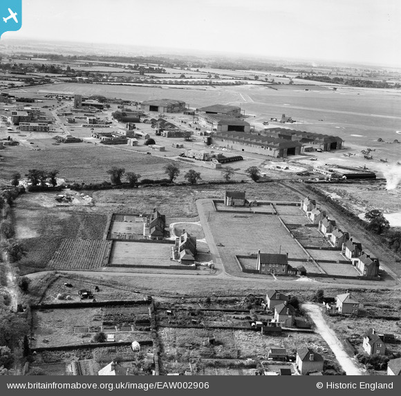
EAW002906 ENGLAND (1946). Housing off Dowding Road and RAF Horsham St Faith, Norwich, from the east, 1946
© Copyright OpenStreetMap contributors and licensed by the OpenStreetMap Foundation. 2026. Cartography is licensed as CC BY-SA.
Nearby Images (4)
EAW002906

EAW002910

EAW001956

EAW001957

Details
| Title | [EAW002906] Housing off Dowding Road and RAF Horsham St Faith, Norwich, from the east, 1946 |
| Reference | EAW002906 |
| Date | 1-October-1946 |
| Link | |
| Place name | NORWICH |
| Parish | |
| District | |
| Country | ENGLAND |
| Easting / Northing | 622773, 312831 |
| Longitude / Latitude | 1.2950080459791, 52.666983000024 |
| National Grid Reference | TG228128 |
Pins

Matt Aldred edob.mattaldred.com |
Tuesday 24th of November 2020 10:14:31 PM | |
|
Matt Aldred edob.mattaldred.com |
Tuesday 24th of November 2020 10:13:56 PM | |
|
Matt Aldred edob.mattaldred.com |
Tuesday 24th of November 2020 10:13:45 PM | |
|
Matt Aldred edob.mattaldred.com |
Tuesday 24th of November 2020 10:13:32 PM | |
|
Matt Aldred edob.mattaldred.com |
Tuesday 24th of November 2020 10:13:17 PM | |
|
Matt Aldred edob.mattaldred.com |
Tuesday 24th of November 2020 10:13:04 PM | |
|
Matt Aldred edob.mattaldred.com |
Tuesday 24th of November 2020 10:12:53 PM | |

ken |
Friday 17th of July 2015 07:04:54 PM | |
|
ken |
Friday 17th of July 2015 07:03:27 PM | |
|
ken |
Friday 17th of July 2015 07:02:41 PM |