
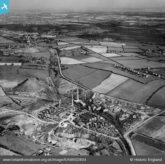
EAW002804 ENGLAND (1946). The Pye Hill Colliery and the surrounding area, Jacksdale, from the west, 1946
© Copyright OpenStreetMap contributors and licensed by the OpenStreetMap Foundation. 2026. Cartography is licensed as CC BY-SA.
Nearby Images (12)
EAW002804

EPW044069

EPW044071

EPW044072

EAW002806

EPW044076

EPW044074

EAW002805

EPW044073

EAW002801

EAW002800

EPW044075

Details
| Title | [EAW002804] The Pye Hill Colliery and the surrounding area, Jacksdale, from the west, 1946 |
| Reference | EAW002804 |
| Date | 27-September-1946 |
| Link | |
| Place name | JACKSDALE |
| Parish | SELSTON |
| District | |
| Country | ENGLAND |
| Easting / Northing | 444566, 352297 |
| Longitude / Latitude | -1.3348507264007, 53.065753034753 |
| National Grid Reference | SK446523 |
Pins
Be the first to add a comment to this image!
User Comment Contributions
The foreground is James Oakes's pipeyard |

Les Gregory |
Thursday 11th of December 2014 03:32:57 AM |