
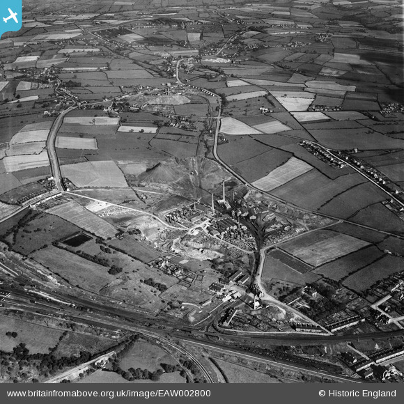
EAW002800 ENGLAND (1946). The Pye Hill Colliery and the surrounding area, Jacksdale, 1946
© Copyright OpenStreetMap contributors and licensed by the OpenStreetMap Foundation. 2026. Cartography is licensed as CC BY-SA.
Nearby Images (10)
EAW002800

EPW044076

EPW044074

EAW002801

EAW002805

EPW044071

EAW002803

EAW002806

EPW044069

EAW002804

Details
| Title | [EAW002800] The Pye Hill Colliery and the surrounding area, Jacksdale, 1946 |
| Reference | EAW002800 |
| Date | 27-September-1946 |
| Link | |
| Place name | JACKSDALE |
| Parish | SELSTON |
| District | |
| Country | ENGLAND |
| Easting / Northing | 444791, 352387 |
| Longitude / Latitude | -1.3314803144977, 53.066543273067 |
| National Grid Reference | SK448524 |
Pins
Be the first to add a comment to this image!