
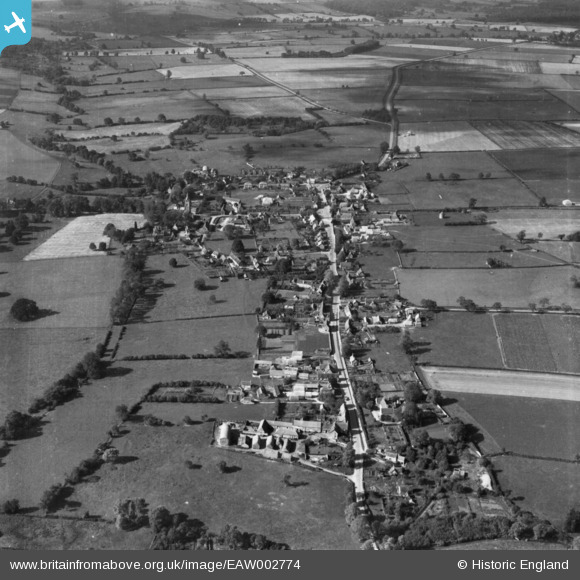
EAW002774 ENGLAND (1946). The village, Empingham, 1946. This image has been produced from a print.
© Copyright OpenStreetMap contributors and licensed by the OpenStreetMap Foundation. 2026. Cartography is licensed as CC BY-SA.
Nearby Images (5)
EAW002774

EAW002769

EAW002771

EAW002770

EAW002772

Details
| Title | [EAW002774] The village, Empingham, 1946. This image has been produced from a print. |
| Reference | EAW002774 |
| Date | 11-September-1946 |
| Link | |
| Place name | EMPINGHAM |
| Parish | EMPINGHAM |
| District | |
| Country | ENGLAND |
| Easting / Northing | 495236, 308686 |
| Longitude / Latitude | -0.59153789712822, 52.667162332538 |
| National Grid Reference | SK952087 |
Pins
Be the first to add a comment to this image!