
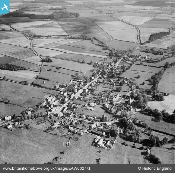
EAW002771 ENGLAND (1946). The village, Empingham, 1946
© Copyright OpenStreetMap contributors and licensed by the OpenStreetMap Foundation. 2026. Cartography is licensed as CC BY-SA.
Nearby Images (5)
EAW002771

EAW002769

EAW002770

EAW002772

EAW002774

Details
| Title | [EAW002771] The village, Empingham, 1946 |
| Reference | EAW002771 |
| Date | 11-September-1946 |
| Link | |
| Place name | EMPINGHAM |
| Parish | EMPINGHAM |
| District | |
| Country | ENGLAND |
| Easting / Northing | 495083, 308705 |
| Longitude / Latitude | -0.59379441590182, 52.667359967633 |
| National Grid Reference | SK951087 |
Pins

Sparky |
Saturday 16th of September 2017 06:16:51 PM | |

totoro |
Saturday 5th of April 2014 09:56:45 PM | |
|
totoro |
Saturday 5th of April 2014 09:54:53 PM | |
|
totoro |
Saturday 5th of April 2014 09:52:57 PM | |
|
totoro |
Saturday 5th of April 2014 09:38:04 PM | |
|
totoro |
Saturday 5th of April 2014 09:30:40 PM | |
|
totoro |
Saturday 5th of April 2014 09:28:37 PM | |
|
totoro |
Saturday 5th of April 2014 09:27:55 PM | |
|
totoro |
Saturday 5th of April 2014 09:23:34 PM |