
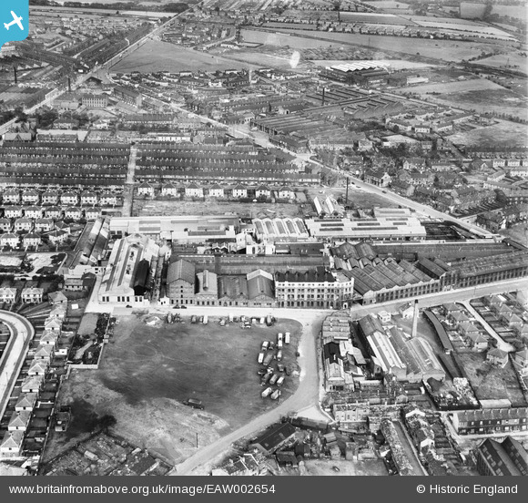
EAW002654 ENGLAND (1946). The Croft and Perkins Empire Engineering Works and the surrounding area, Laisterdyke, 1946
© Copyright OpenStreetMap contributors and licensed by the OpenStreetMap Foundation. 2026. Cartography is licensed as CC BY-SA.
Nearby Images (17)
EAW002654

EPW050108

EAW002658

EPW050112

EPW050107

EAW002656

EPW050109

EAW002652

EAW002655

EPW050111

EPW050110

EAW002651

EPW050106

EAW002653

EAW002657

EAW030592

EAW030591

Details
| Title | [EAW002654] The Croft and Perkins Empire Engineering Works and the surrounding area, Laisterdyke, 1946 |
| Reference | EAW002654 |
| Date | 19-September-1946 |
| Link | |
| Place name | LAISTERDYKE |
| Parish | |
| District | |
| Country | ENGLAND |
| Easting / Northing | 418870, 433448 |
| Longitude / Latitude | -1.7134916090782, 53.796781871871 |
| National Grid Reference | SE189334 |
