
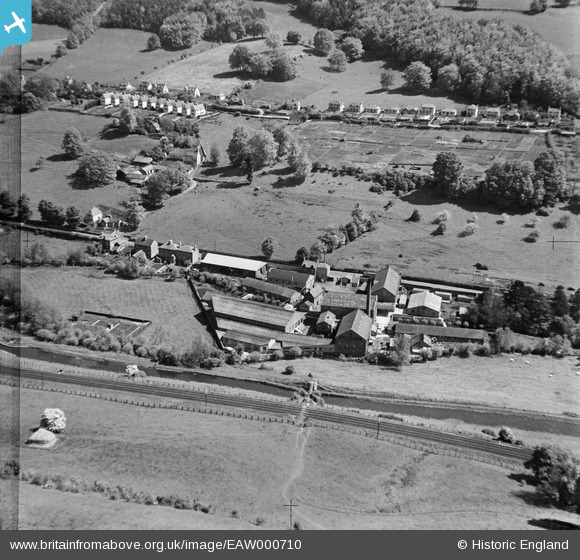
EAW000710 ENGLAND (1946). Tyler's Ltd Griffin's Mill and environs, Thrupp, 1946
© Copyright OpenStreetMap contributors and licensed by the OpenStreetMap Foundation. 2026. Cartography is licensed as CC BY-SA.
Nearby Images (7)
EAW000710

EAW000707

EAW000708

EAW000712

EAW000709

EAW000711

EAW000706

Details
| Title | [EAW000710] Tyler's Ltd Griffin's Mill and environs, Thrupp, 1946 |
| Reference | EAW000710 |
| Date | 9-May-1946 |
| Link | |
| Place name | THRUPP |
| Parish | BRIMSCOMBE AND THRUPP |
| District | |
| Country | ENGLAND |
| Easting / Northing | 386017, 203553 |
| Longitude / Latitude | -2.2024877431342, 51.730060578517 |
| National Grid Reference | SO860036 |
Pins
Be the first to add a comment to this image!