
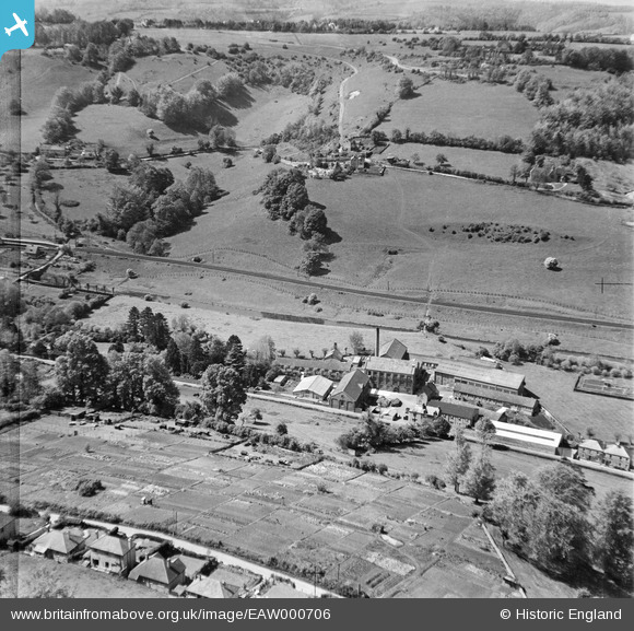
EAW000706 ENGLAND (1946). Tyler's Ltd Griffin's Mill looking towards Montserrat, Thrupp, 1946
© Copyright OpenStreetMap contributors and licensed by the OpenStreetMap Foundation. 2026. Cartography is licensed as CC BY-SA.
Nearby Images (7)
EAW000706

EAW000711

EAW000712

EAW000708

EAW000707

EAW000710

EAW000709

Details
| Title | [EAW000706] Tyler's Ltd Griffin's Mill looking towards Montserrat, Thrupp, 1946 |
| Reference | EAW000706 |
| Date | 9-May-1946 |
| Link | |
| Place name | THRUPP |
| Parish | BRIMSCOMBE AND THRUPP |
| District | |
| Country | ENGLAND |
| Easting / Northing | 385896, 203414 |
| Longitude / Latitude | -2.2042342984867, 51.728807644965 |
| National Grid Reference | SO859034 |
