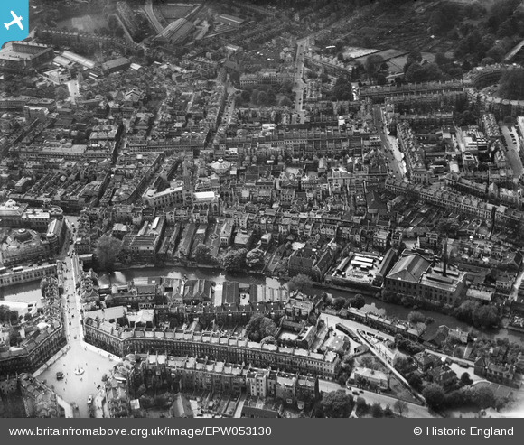
EPW053130 ENGLAND (1937). The city centre, Bath, 1937

© Copyright OpenStreetMap contributors and licensed by the OpenStreetMap Foundation. 2024. Cartography is licensed as CC BY-SA.
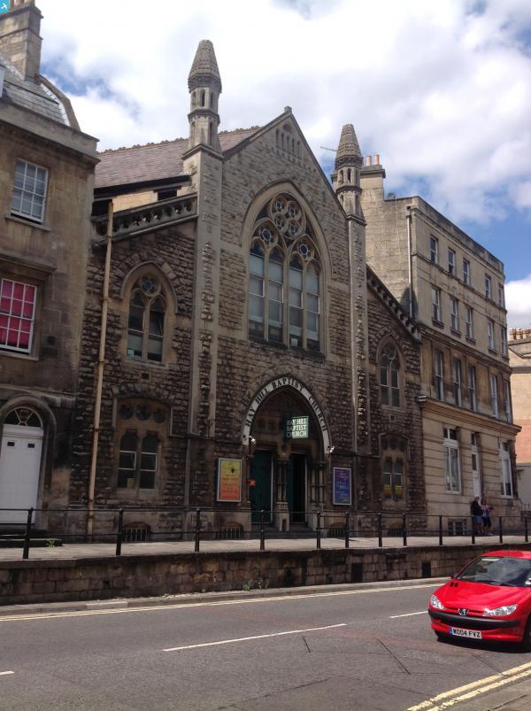
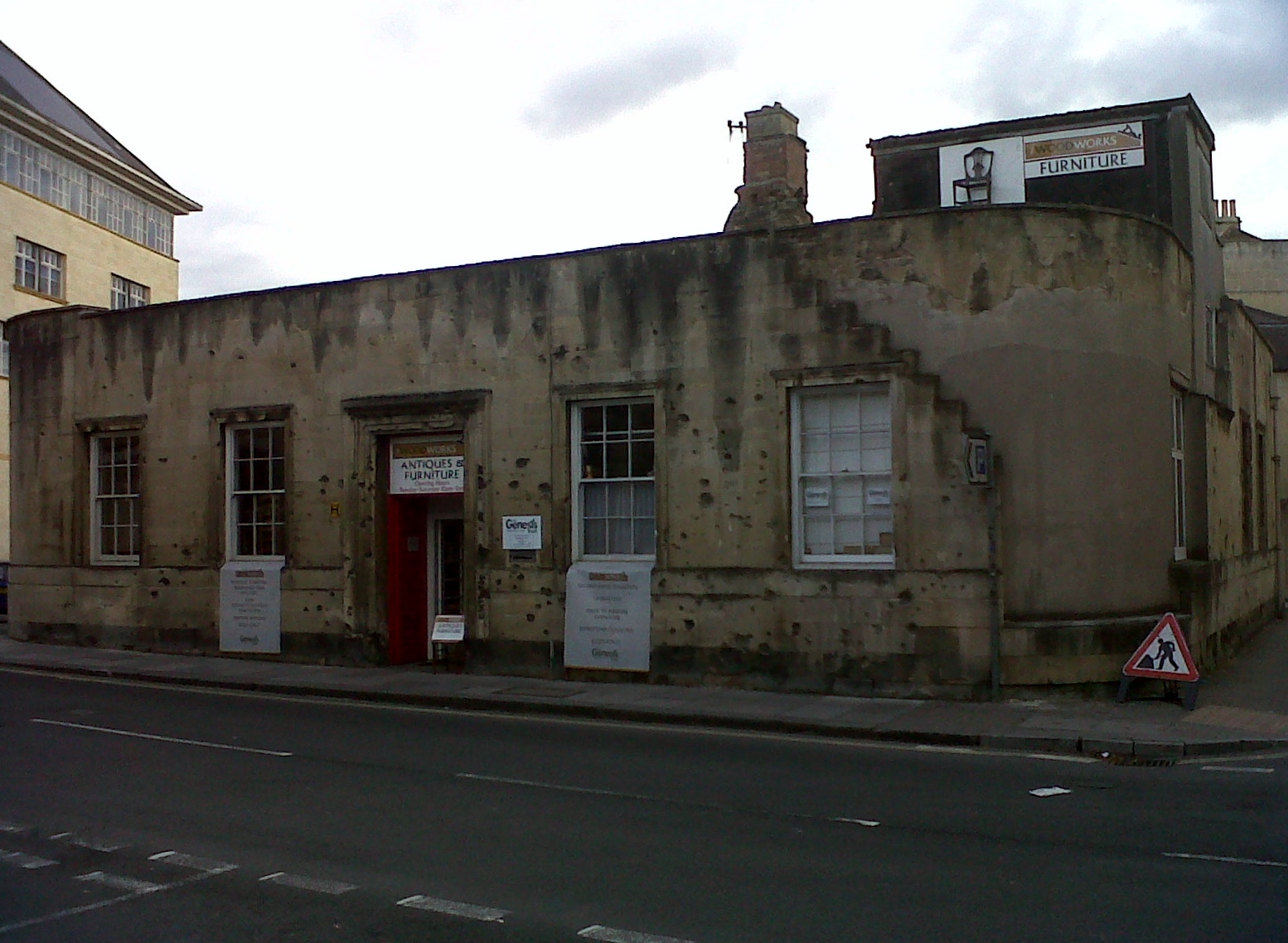
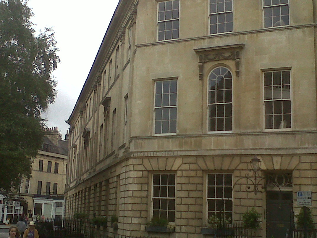
Nearby Images (20)

EPW053130
  0° 0m
EPW053127
  345° 24m
EPW053133
  311° 24m
EPW053138
  190° 39m
EPW053134
  264° 42m
EPW053128
  6° 62m
EPW001958
  168° 83m
EPW053129
  42° 97m
EPW053131
  72° 107m
EPW053136
  81° 116m
EPW053135
  61° 117m
EPW053132
  64° 126m
EPR000133
  285° 177m
EAW000761
  184° 196m
EPW053137
  346° 215m
EPW048393
  231° 224m
EPW033154
  253° 230m
EPW053141
  174° 245m
EPR000129
  229° 257m
EPW001950
  137° 272m

Details

Title [EPW053130] The city centre, Bath, 1937
Reference EPW053130
Date 19-May-1937
Link
Place name BATH
Parish
District
Country ENGLAND
Easting / Northing 375057, 165075
Longitude / Latitude -2.3584664568632, 51.383676458953
National Grid Reference ST751651

Pins

Hay Hill Baptist Church, Bath, 15/07/2014

Class31
Wednesday 16th of July 2014 08:38:32 AM
Covered Market

Class31
Wednesday 21st of August 2013 11:56:40 AM

Class31
Wednesday 21st of August 2013 11:56:06 AM
Midland Bridge Road

Class31
Wednesday 21st of August 2013 11:55:37 AM
Charlotte Street

Class31
Wednesday 21st of August 2013 11:54:58 AM

Class31
Wednesday 21st of August 2013 11:54:20 AM

Class31
Wednesday 21st of August 2013 11:53:53 AM

Class31
Wednesday 21st of August 2013 11:52:38 AM
Site of the Labour Exchange Listing Text 656/0/10028 MILK STREET 24-APR-02 Old Labour Exchange (Former Weights an d Measures Office) II Former Labour Exchange, Milk Street. C.1936, architect unknown. Bath stone facades, roof not seen. Now single storey. Five bay front to James Street West: central double doors within framed surround, 6/6 pane sash windows within aedicular surrounds. Rounded corners to sides, that at north-west badly damaged revealing inner structure. East return to Milk Street of eight bays, with framed doors at either end, inner four bays with arched windows, outer windows are 6/6 pane sashes. Right return is much damaged: three windows with metal mullions and transoms within aedicular surrounds, the central one showing extensive signs of fire damage above; later inserted window opening to first floor addition. HISTORY: this building was badly damaged during one of the two 'Baedeker Raids' on Bath in March 1942, in which 417 persons were killed and thousands of buildings badly damaged or lost. It is remarkable for bearing the clear evidence of shrapnel damage from high explosive bombs which were dropped just south of Kingsmead Square. The building is listed on account of the faade: the structure behind is of much lesser significance. SOURCES: 'Bath under Bombardment' (1942); Martin Wainwright, 'Blitz on Bath' (3rd ed. 1992); Niall Rothnie, 'The Baedeker Blitz' (1992). This text is a legacy record and has not been updated since the building was originally listed. Details of the building may have changed in the intervening time. You should not rely on this listing as an accurate description of the building. Source: English Heritage Listed building text is © Crown Copyright. Reproduced under licence. I believe this building to be one of the more important buildings in Bath because it still shows war damage on it's facade.

Class31
Wednesday 21st of August 2013 11:50:38 AM
St Michael's Church, Bath

Class31
Wednesday 21st of August 2013 11:42:25 AM
Henrietta Street

Class31
Wednesday 21st of August 2013 11:39:27 AM
Henrietta Road

Class31
Wednesday 21st of August 2013 11:34:12 AM

Class31
Wednesday 21st of August 2013 11:32:46 AM

Class31
Wednesday 21st of August 2013 11:32:27 AM

Class31
Wednesday 21st of August 2013 11:31:45 AM

Class31
Wednesday 21st of August 2013 11:31:09 AM

User Comment Contributions

Labour Exchange as patched up after the Blitz 07/09/2013 16.24hrs

Class31
Monday 6th of January 2014 02:08:49 PM
Detail at the junction of Laura Place and Henrietta Street

Class31
Wednesday 21st of August 2013 11:40:22 AM