
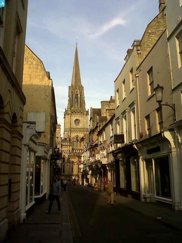
EPW033154 ENGLAND (1930). The city, Bath, from the south-west, 1930

© Copyright OpenStreetMap contributors and licensed by the OpenStreetMap Foundation. 2024. Cartography is licensed as CC BY-SA.
Nearby Images (18)
EPW033154

EPW001951

EAW000744

EPW048393

EAW000745

EPR000129

EPR000133

EPW053134

EPW053138

EPW053133

EPW001952

EPW053130

EPW053127

EPW001958

EPW053149

EAW000761

EPW053128

EPW053141

Details
| Title | [EPW033154] The city, Bath, from the south-west, 1930 |
| Reference | EPW033154 |
| Date | July-1930 |
| Link | |
| Place name | BATH |
| Parish | |
| District | |
| Country | ENGLAND |
| Easting / Northing | 374836, 165011 |
| Longitude / Latitude | -2.3616379382037, 51.383091180389 |
| National Grid Reference | ST748650 |
Pins
 Class31 |
Wednesday 16th of July 2014 09:02:57 PM | |
Class31 |
Wednesday 16th of July 2014 09:02:10 PM | |
Class31 |
Wednesday 16th of July 2014 09:01:32 PM | |
Class31 |
Monday 10th of March 2014 10:17:39 AM | |
Class31 |
Wednesday 28th of August 2013 01:23:28 PM | |
Class31 |
Monday 4th of February 2013 11:41:38 AM | |
Class31 |
Monday 4th of February 2013 11:35:46 AM | |
Class31 |
Monday 4th of February 2013 11:33:19 AM | |
Class31 |
Monday 4th of February 2013 11:32:01 AM | |
Class31 |
Monday 4th of February 2013 11:31:17 AM | |
Class31 |
Monday 4th of February 2013 11:27:32 AM |
User Comment Contributions
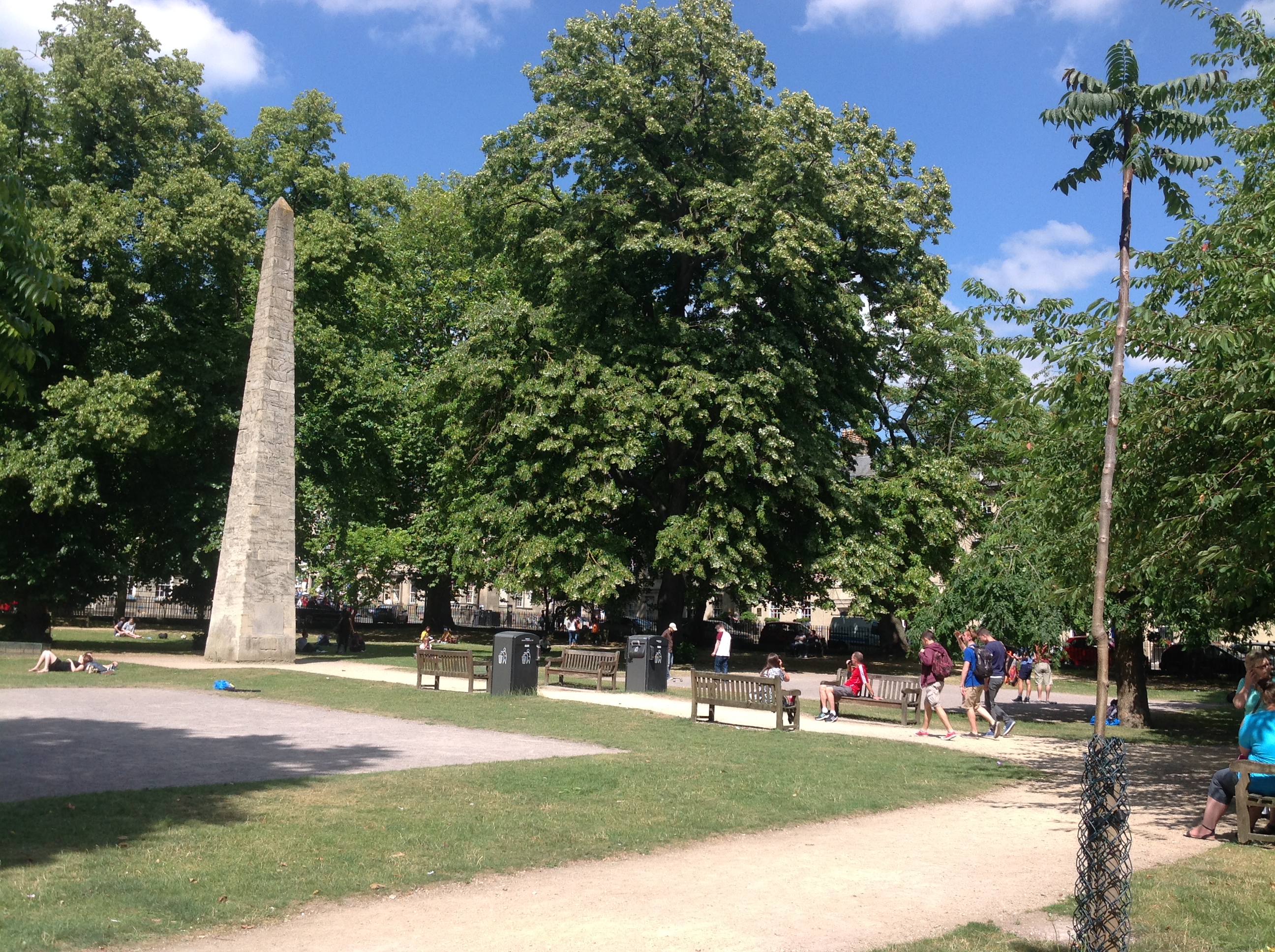 Queen Square, Bath, 15/07/2014 |
Class31 |
Wednesday 16th of July 2014 09:00:28 PM |


