
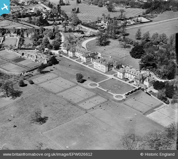
EPW026612 ENGLAND (1929). Farringtons Girls' School, Chislehurst, 1929
© Copyright OpenStreetMap contributors and licensed by the OpenStreetMap Foundation. 2024. Cartography is licensed as CC BY-SA.
Nearby Images (13)
EPW026612

EPW026607

EPW026611

EPW026610

EPW026613

EPW026609

EPW026614

EPW026605

EPW026606

EPW026046

EPW026608

EPW045553

EPW026615

Details
| Title | [EPW026612] Farringtons Girls' School, Chislehurst, 1929 |
| Reference | EPW026612 |
| Date | May-1929 |
| Link | |
| Place name | CHISLEHURST |
| Parish | |
| District | |
| Country | ENGLAND |
| Easting / Northing | 544966, 170391 |
| Longitude / Latitude | 0.084821462150148, 51.413486779654 |
| National Grid Reference | TQ450704 |
Pins
Be the first to add a comment to this image!


