
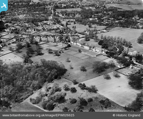
EPW026615 ENGLAND (1929). Farringtons Girls' School, Chislehurst, from the south-east, 1929
© Copyright OpenStreetMap contributors and licensed by the OpenStreetMap Foundation. 2024. Cartography is licensed as CC BY-SA.
Nearby Images (12)
EPW026615

EPW026608

EPW026606

EPW026614

EPW026609

EPW026612

EPW026605

EPW026607

EPW026610

EPW026611

EPW026613

EPW026046

Details
| Title | [EPW026615] Farringtons Girls' School, Chislehurst, from the south-east, 1929 |
| Reference | EPW026615 |
| Date | May-1929 |
| Link | |
| Place name | CHISLEHURST |
| Parish | |
| District | |
| Country | ENGLAND |
| Easting / Northing | 545141, 170300 |
| Longitude / Latitude | 0.087299165485522, 51.412624215411 |
| National Grid Reference | TQ451703 |
Pins
Be the first to add a comment to this image!


