
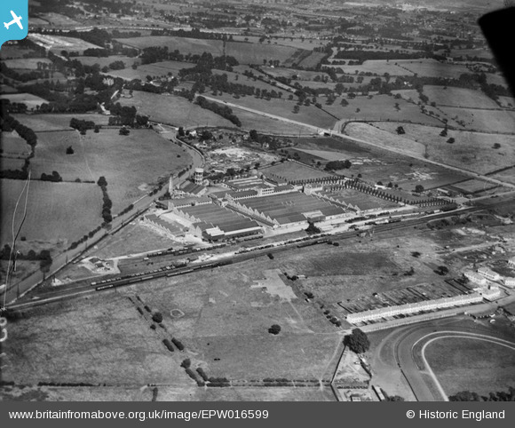
EPW016599 ENGLAND (1926). The Greenford Factories and environs, Greenford, 1926
© Copyright OpenStreetMap contributors and licensed by the OpenStreetMap Foundation. 2024. Cartography is licensed as CC BY-SA.
Nearby Images (19)
EPW016599

EPW016600

EPW016597

EPW016604

EPW016601

EPW016603

EPW016595

EPW016602

EPW006964

EPW031778

EPW016594

EPW016596

EPW009436

EPR000635

EPW031777

EPW016598

EPW008029

EPW031779

EPW008030

Details
| Title | [EPW016599] The Greenford Factories and environs, Greenford, 1926 |
| Reference | EPW016599 |
| Date | 26-August-1926 |
| Link | |
| Place name | GREENFORD |
| Parish | |
| District | |
| Country | ENGLAND |
| Easting / Northing | 514554, 184171 |
| Longitude / Latitude | -0.34785615053353, 51.544314686198 |
| National Grid Reference | TQ146842 |
Pins
 D Figueiredo |
Wednesday 19th of December 2012 03:59:26 PM | |
Mike |
Friday 27th of July 2012 12:30:02 PM | |
Roy Cousins |
Wednesday 27th of June 2012 09:58:52 AM | |
Roy Cousins |
Wednesday 27th of June 2012 09:57:06 AM | |
Roy Cousins |
Wednesday 27th of June 2012 09:55:59 AM |


