
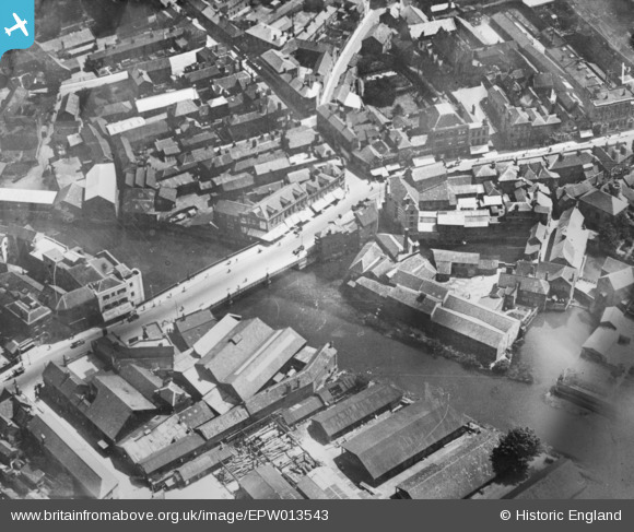
EPW013543 ENGLAND (1925). Tone Bridge and environs, Taunton, 1925. This image has been produced from a copy-negative.
© Copyright OpenStreetMap contributors and licensed by the OpenStreetMap Foundation. 2024. Cartography is licensed as CC BY-SA.
Nearby Images (20)
EPW013543

EPW027895

EPW027897

EAW005338

EAW005339

EAW005341

EAW005337

EPW041093

EAW005340

EPW041183

EAW005342

EPW041094

EPW041184

EPW027886

EAW051944

EPW027885

EPW027896

EAW005343

EAW051948

EPW013539

Details
| Title | [EPW013543] Tone Bridge and environs, Taunton, 1925. This image has been produced from a copy-negative. |
| Reference | EPW013543 |
| Date | June-1925 |
| Link | |
| Place name | TAUNTON |
| Parish | |
| District | |
| Country | ENGLAND |
| Easting / Northing | 322663, 124785 |
| Longitude / Latitude | -3.1026595570349, 51.01669557647 |
| National Grid Reference | ST227248 |
Pins
Be the first to add a comment to this image!


