
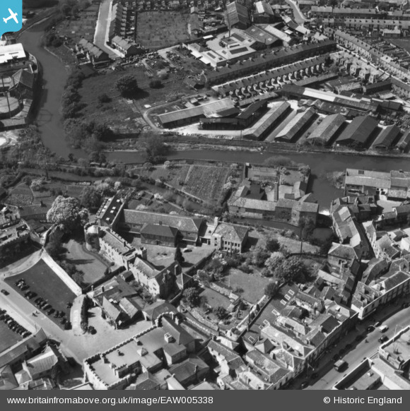
EAW005338 ENGLAND (1947). The remains of Taunton Castle and environs, Taunton, 1947. This image has been produced from a print.
© Copyright OpenStreetMap contributors and licensed by the OpenStreetMap Foundation. 2024. Cartography is licensed as CC BY-SA.
Nearby Images (29)
EAW005338

EAW005341

EAW005337

EAW005340

EAW005339

EAW005342

EPW041183

EPW041094

EPW041184

EPW041093

EPW027886

EPW013543

EPW041182

EAW051948

EAW049103

EPW027895

EAW051943

EAW051944

EPW013541

EAW005346

EAW051947

EAW005347

EPW027899

EPW041181

EPW027897

EPW027885

EPW027893

EAW051941

EAW015037

Details
| Title | [EAW005338] The remains of Taunton Castle and environs, Taunton, 1947. This image has been produced from a print. |
| Reference | EAW005338 |
| Date | 13-May-1947 |
| Link | |
| Place name | TAUNTON |
| Parish | |
| District | |
| Country | ENGLAND |
| Easting / Northing | 322585, 124670 |
| Longitude / Latitude | -3.1037468978718, 51.015651046107 |
| National Grid Reference | ST226247 |
Pins
Be the first to add a comment to this image!


