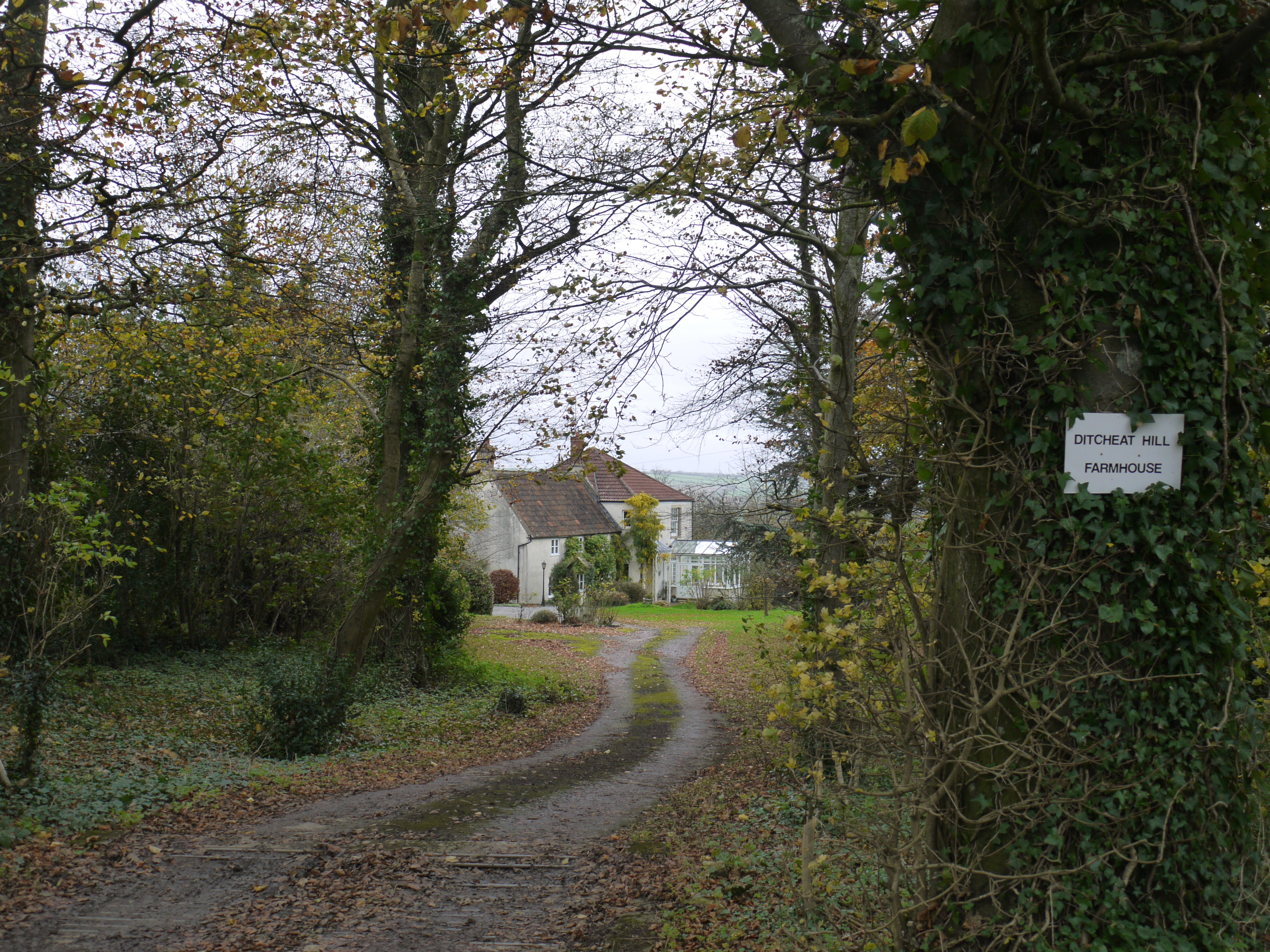
EAW052861 ENGLAND (1953). Ditcheat Hill Farm, Ditcheat, from the south, 1953. This image was marked by Aerofilms Ltd for photo editing.

© Copyright OpenStreetMap contributors and licensed by the OpenStreetMap Foundation. 2024. Cartography is licensed as CC BY-SA.
Nearby Images (8)
EAW052861

EAW052860

EAW052863

EAW052865

EAW052859

EAW052858

EAW052862

EAW052864

Details
| Title | [EAW052861] Ditcheat Hill Farm, Ditcheat, from the south, 1953. This image was marked by Aerofilms Ltd for photo editing. |
| Reference | EAW052861 |
| Date | 16-October-1953 |
| Link | |
| Place name | DITCHEAT |
| Parish | DITCHEAT |
| District | |
| Country | ENGLAND |
| Easting / Northing | 362217, 136936 |
| Longitude / Latitude | -2.5400154902925, 51.129927364472 |
| National Grid Reference | ST622369 |
Pins
Be the first to add a comment to this image!