
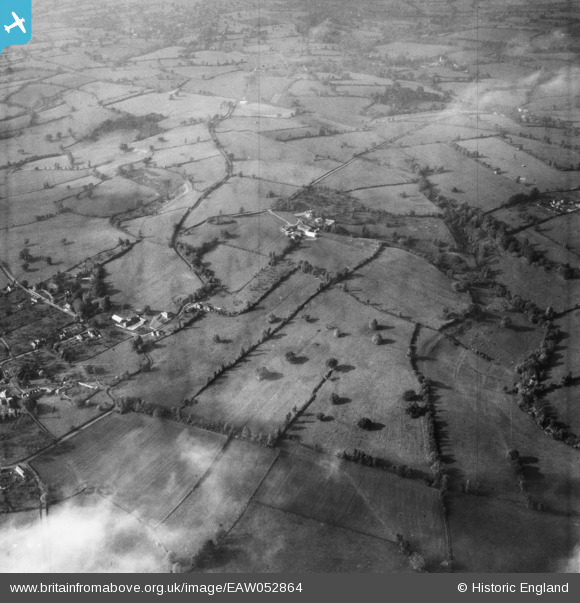
EAW052864 ENGLAND (1953). Ditcheat Hill Farm and the surrounding countryside, Ditcheat, 1953
© Copyright OpenStreetMap contributors and licensed by the OpenStreetMap Foundation. 2024. Cartography is licensed as CC BY-SA.
Nearby Images (7)
EAW052864

EAW052866

EAW052863

EAW052860

EAW052861

EAW052865

EAW052858

Details
| Title | [EAW052864] Ditcheat Hill Farm and the surrounding countryside, Ditcheat, 1953 |
| Reference | EAW052864 |
| Date | 16-October-1953 |
| Link | |
| Place name | DITCHEAT |
| Parish | DITCHEAT |
| District | |
| Country | ENGLAND |
| Easting / Northing | 362440, 136867 |
| Longitude / Latitude | -2.5368212078081, 51.129321541964 |
| National Grid Reference | ST624369 |


