
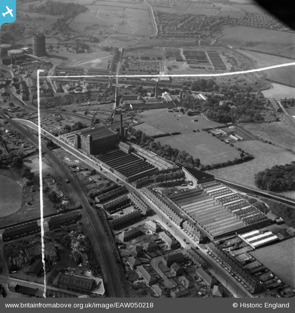
EAW050218 ENGLAND (1953). Throstle Bank Cotton Mill, Hyde, 1953. This image was marked by Aerofilms Ltd for photo editing.
© Copyright OpenStreetMap contributors and licensed by the OpenStreetMap Foundation. 2024. Cartography is licensed as CC BY-SA.
Nearby Images (7)
EAW050218

EAW050221

EAW050220

EAW050222

EAW050219

EAW050223

EAW038444

Details
| Title | [EAW050218] Throstle Bank Cotton Mill, Hyde, 1953. This image was marked by Aerofilms Ltd for photo editing. |
| Reference | EAW050218 |
| Date | 29-June-1953 |
| Link | |
| Place name | HYDE |
| Parish | |
| District | |
| Country | ENGLAND |
| Easting / Northing | 394205, 395496 |
| Longitude / Latitude | -2.0872808435782, 53.45593139908 |
| National Grid Reference | SJ942955 |


