
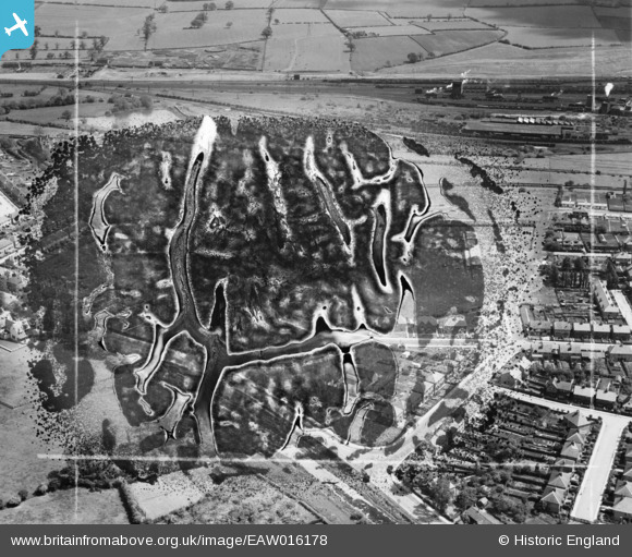
EAW016178 ENGLAND (1948). The area between Longmoor Road and Toton Sidings, Long Eaton, 1948. This image has been produced from a damaged negative.
© Copyright OpenStreetMap contributors and licensed by the OpenStreetMap Foundation. 2024. Cartography is licensed as CC BY-SA.
Nearby Images (17)
EAW016178

EAW006390

EAW016180

EAW006391

EAW016182

EAW016186

EAW016183

EAW006385

EAW006387

EAW016181

EAW006384

EAW006388

EAW016185

EAW006389

EAW016179

EAW006386

EAW016184

Details
| Title | [EAW016178] The area between Longmoor Road and Toton Sidings, Long Eaton, 1948. This image has been produced from a damaged negative. |
| Reference | EAW016178 |
| Date | 27-May-1948 |
| Link | |
| Place name | LONG EATON |
| Parish | |
| District | |
| Country | ENGLAND |
| Easting / Northing | 448018, 335294 |
| Longitude / Latitude | -1.2858593779597, 52.912604889363 |
| National Grid Reference | SK480353 |


