
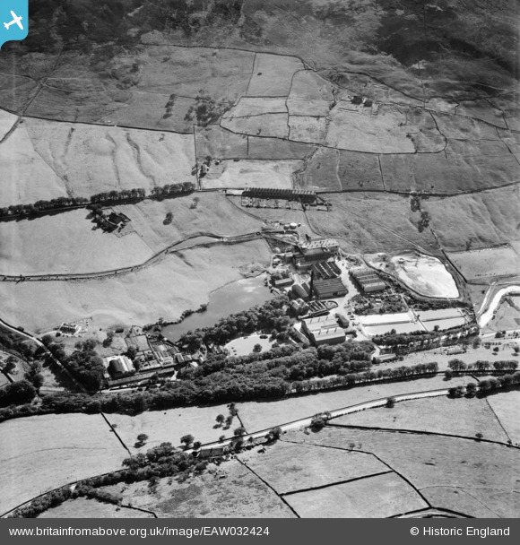
eaw032424 ENGLAND (1950). The Greenfield Paper Mill and Hey Top, Greenfield, 1950
© Copyright OpenStreetMap contributors and licensed by the OpenStreetMap Foundation. 2026. Cartography is licensed as CC BY-SA.
Nearby Images (9)
EAW032424

EAW032423

EAW032425

EAW032426

EAW032427

EAW032430

EAW032422

EAW032428

EAW032429

Details
| Title | [EAW032424] The Greenfield Paper Mill and Hey Top, Greenfield, 1950 |
| Reference | EAW032424 |
| Date | 2-September-1950 |
| Link | |
| Place name | GREENFIELD |
| Parish | SADDLEWORTH |
| District | |
| Country | ENGLAND |
| Easting / Northing | 400981, 403605 |
| Longitude / Latitude | -1.9851993936401, 53.528857998081 |
| National Grid Reference | SE010036 |
Pins
Be the first to add a comment to this image!