
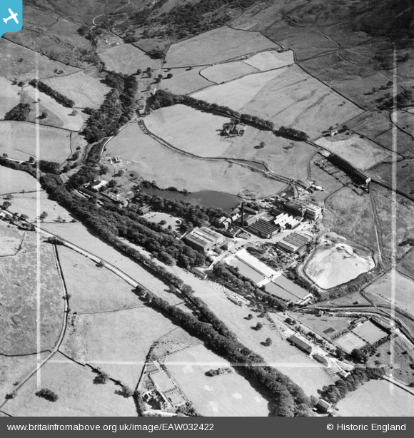
EAW032422 ENGLAND (1950). The Greenfield Paper Mill and Hey Top, Greenfield, 1950. This image was marked by Aerofilms Ltd for photo editing.
© Copyright OpenStreetMap contributors and licensed by the OpenStreetMap Foundation. 2026. Cartography is licensed as CC BY-SA.
Nearby Images (9)
EAW032422

EAW032430

EAW032428

EAW032427

EAW032429

EAW032425

EAW032423

EAW032426

EAW032424

Details
| Title | [EAW032422] The Greenfield Paper Mill and Hey Top, Greenfield, 1950. This image was marked by Aerofilms Ltd for photo editing. |
| Reference | EAW032422 |
| Date | 2-September-1950 |
| Link | |
| Place name | GREENFIELD |
| Parish | SADDLEWORTH |
| District | |
| Country | ENGLAND |
| Easting / Northing | 401025, 403710 |
| Longitude / Latitude | -1.9845352101869, 53.529801802868 |
| National Grid Reference | SE010037 |
Pins
Be the first to add a comment to this image!