
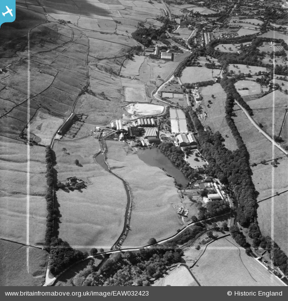
EAW032423 ENGLAND (1950). The Greenfield Paper Mill and Hey Top, Greenfield, 1950. This image was marked by Aerofilms Ltd for photo editing.
© Copyright OpenStreetMap contributors and licensed by the OpenStreetMap Foundation. 2026. Cartography is licensed as CC BY-SA.
Nearby Images (9)
EAW032423

EAW032427

EAW032425

EAW032430

EAW032424

EAW032426

EAW032422

EAW032428

EAW032429

Details
| Title | [EAW032423] The Greenfield Paper Mill and Hey Top, Greenfield, 1950. This image was marked by Aerofilms Ltd for photo editing. |
| Reference | EAW032423 |
| Date | 2-September-1950 |
| Link | |
| Place name | GREENFIELD |
| Parish | SADDLEWORTH |
| District | |
| Country | ENGLAND |
| Easting / Northing | 400978, 403661 |
| Longitude / Latitude | -1.985244480458, 53.529361411052 |
| National Grid Reference | SE010037 |
Pins

TheBlueCube |
Tuesday 25th of November 2014 03:50:40 PM | |
|
TheBlueCube |
Tuesday 25th of November 2014 03:48:52 PM |